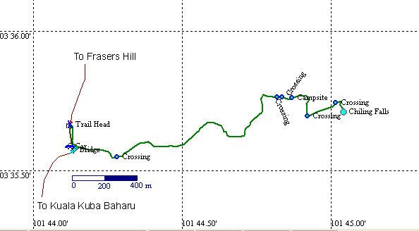
Chiling Falls A GPS map of the region. The black line is the road from KKB to the Gap.The green line is the trail to the waterfalls.The river crossings are indicated. BACK
A GPS map of the region. The black line is the road from KKB to the Gap.The green line is the trail to the waterfalls.The river crossings are indicated.
BACK